



Midland Trace rewards a route planned one open section at a time
Westfield’s trail listing distinguishes existing sections from future links, a useful detail when planning a walk or ride.

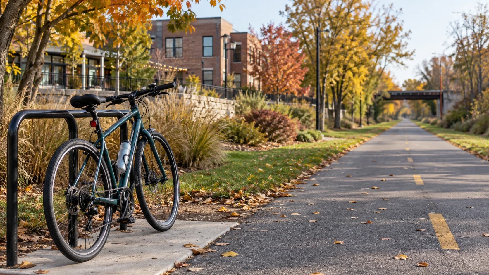
Image: AI-generated illustrative photograph of a bicycle beside a generic autumn trail; not the Midland Trace Trail or a map of an open connection.
A line on a regional trail map can hide an important question: which sections are open today? Westfield’s Midland Trace Trail page lists existing stretches alongside future connections, making it worth checking the details before choosing a route across town.
The city lists 4.96 miles, an asphalt surface and sunrise-to-sunset hours. Major access points include Grand Junction Plaza and Quaker Park. Several connections on the facility page are explicitly described as future, so they should not be treated as a promise of a continuous ride.
Sponsored
Start with an access point and a realistic turnaround, then check the current parks map and posted signs. If a street crossing or missing link changes the plan, choose an established alternative rather than following an assumed trail corridor. Riders and walkers will both benefit from leaving room for other users.
A familiar section can still make a satisfying outing. Try the same short stretch at a different time of day, pause at a bench or bring a neighbor who has been meaning to explore. The value of the route is the time spent outside, not completing an ambitious distance.




Discuss this news
Your draft stays here while you sign in. Be respectful and keep it local.
No comments yet.