


Westfield’s public maps offer a better starting point for that construction-site question
The city’s map directory separates parks, development and public information tools so residents can choose the right question first.

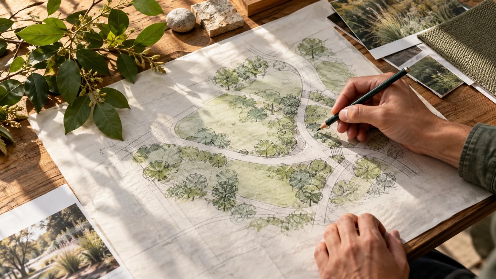
Image: AI-generated illustrative photograph of generic planning materials; not an official Westfield map, approved project or proposed alignment.
A fenced site or a new stretch of pavement can prompt the same neighborhood question: what is happening here? Westfield’s public map directory brings several tools together, including a Park and Trail Finder, a What’s Happening Here map and a What’s Building Here map.
The directory also offers a GIS map experience, a data portal and tools for identifying elected representatives. Those are different kinds of information. A parks search can help plan an outing, while a development map can provide a starting point for understanding work near a familiar street.
Sponsored
Begin with an address or intersection and read the labels, dates and supporting links associated with the result. A mapped proposal does not automatically mean construction is approved, funded or finished. If the information leaves an important question unanswered, use the relevant city department’s contact details to ask for clarification.
Save the source link when discussing a project with neighbors, and distinguish what the city record says from what you hope or expect will happen. That small habit makes local conversation more useful: people can examine the same information instead of trying to reconstruct a plan from a passing view of a work site.





Discuss this news
Your draft stays here while you sign in. Be respectful and keep it local.
No comments yet.